
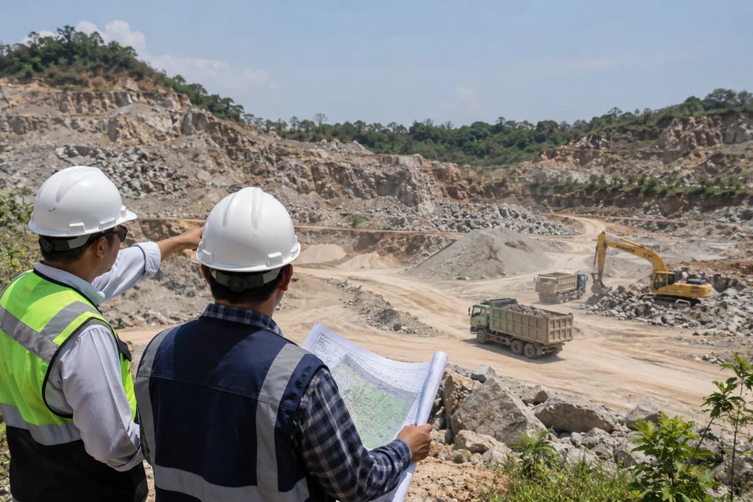
Rock quarrying has two features that set it apart from almost every other activity.
First, its impact changes the landform permanently. A hill that has been cut does not return. Second, its environmental obligations continue after the activity itself has stopped.
Both make environmental documentation for quarrying heavier, and a more frequent source of trouble later.
Almost always AMDAL
For quarrying, the determination is influenced by the area of the mining licence and production volume, together with locational factors that matter more here than anywhere else.
Most rock extraction at commercial scale falls under mandatory AMDAL. Genuinely small and limited operations may stop at UKL-UPL, but that is the exception rather than the norm.
Location weighs heavily: proximity to rivers, protected areas, springs, or settlements can raise the obligation regardless of production volume.
Impacts requiring assessment
Compared with other activities, the scope of assessment is considerably wider:
Landform change and slope stability. Including landslide risk during and after extraction.
Air quality and dust. From extraction, processing, and haulage traffic.
Noise and vibration. Particularly where blasting is used.
Surface water and groundwater. Altered flow patterns, sedimentation into rivers, and potential disruption to community water sources.
Haul roads. Damage to village roads and the safety of other road users is frequently the most tangible source of community complaint.
Socio-economics. Including land ownership, compensation, and local employment.
Reclamation and post-mining
This is what most distinguishes quarrying from other activities.
Reclamation means restoring disturbed land, and it is carried out progressively during extraction rather than only at the end. Areas already worked out are reclaimed while other areas remain active.
Post-mining covers activities after all operations cease, restoring environmental and social function in line with the planned end use.
Both require their own plans, prepared from the outset rather than considered as reserves run down. Both also require guarantees to be placed, so that the obligations remain deliverable even if the company runs into difficulty.
What frequently goes wrong: reclamation plans prepared in a purely formal way to satisfy the document, without realistic costing. When the time comes, the cost is far above what was assumed.
The social issues that recur
For quarrying, the biggest obstacle is often social rather than technical. The most persistent:
Haul roads. Heavily loaded trucks on village roads never designed for them. Roads deteriorate, dust spreads, and children's safety on the way to school becomes a genuine worry. This is the complaint that most often triggers opposition, and the one most amenable to anticipation through road maintenance commitments and restricted operating hours.
Water sources. Concern that extraction disturbs springs or residents' wells. Clear baseline data is needed before operations begin, because without a comparison, every subsequent change will be attributed to the quarry.
Blasting vibration. Cracks in nearby houses, whether genuinely caused by blasting or not, are hard to rebut without documented pre-existing building conditions.
Licence area boundaries. Extraction beyond the licensed area is a serious violation and easily proven by satellite imagery.
Ongoing obligations
Once the Environmental Approval is issued, obligations continue: periodic reporting on implementation of the management plan, air and water quality monitoring at the prescribed frequency, reporting on reclamation progress, and maintenance of reclaimed areas.
For quarrying, supervision tends to be more intensive than for other activities, and satellite imagery means changes in open area can be monitored without a site visit.
If extraction is already under way
For operations running without adequate environmental documents, the route is through DELH with settlement of administrative sanctions.
There is an additional difficulty specific to quarrying: the original condition of the land before extraction can no longer be observed. Preparation therefore relies heavily on historical data such as older satellite imagery, topographic maps, and accounts from surrounding communities.
The longer this is deferred, the harder reconstructing baseline conditions becomes, and the larger the area requiring reclamation without a plan in place.
If you are preparing a licence
We have handled licensing for andesite quarrying, and the pattern of issues is fairly consistent from one project to the next: what determines the outcome is not paperwork completeness but how seriously the impact management plan is developed from the start.
If you are preparing or already running an extraction operation, send the licence area, estimated production volume, and location on WhatsApp. We will help map the documentary obligations along with what needs preparing early, particularly around reclamation and relations with surrounding communities.