
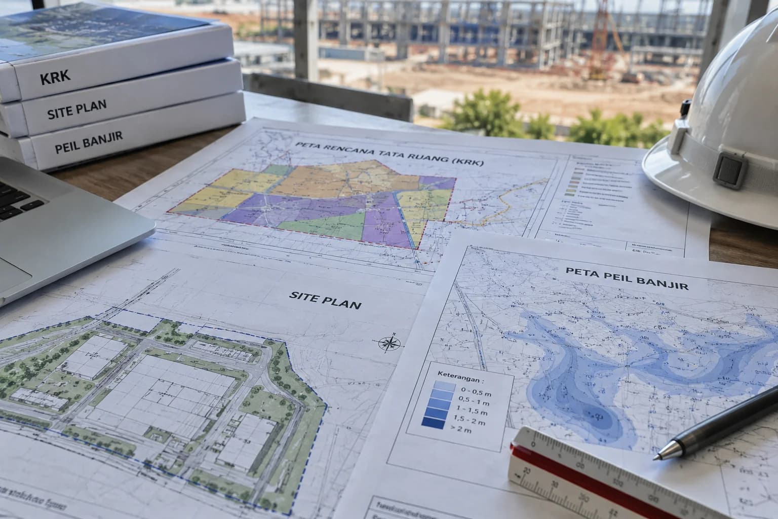
Of every document in a project's licensing chain, these three are most often treated as administrative matters to be chased alongside everything else.
In fact all three set limits that bind your entire design, and one of them determines a major cost component before a single stone is laid.
Urban planning certificate
This states what may be built on your land under the applicable spatial plan.
It covers designated land use, building coverage ratio limiting ground floor area against site area, floor area ratio limiting total floor area, maximum height, building setback lines, and sometimes additional provisions such as the required proportion of green open space.
Why it must come first: it is your design boundary. An architect designing before it exists is working on assumptions, and assumptions that miss mean redrawing.
More seriously, it can state that the designated use does not permit your intended activity. Learning that before buying the land is plainly different from learning it afterwards.
Site plan
The site plan translates the certificate's provisions into a concrete layout: building positions, roads and circulation, parking, green open space, drainage, utilities, and for estates, plot subdivision along with public and social facilities.
For estate projects such as housing or warehousing, the site plan requires approval from the regional government.
The most frequent point of dispute: the proportion of land allocated to green open space and public facilities. The interests genuinely oppose one another; the developer wants maximum saleable area, while local provisions set minimum proportions.
Settling that difference at site plan stage is far cheaper than after plots are marketed. Withdrawing sold plots because the site plan had to be adjusted is a problem no developer wants.
Flood level certificate
The flood level sets the minimum ground floor elevation, based on inundation depths that may occur in the area.
It sounds like one small number. Its effect is not small at all.
Effect on cost: if the level set is above existing ground, the difference must be made up with fill. On a large site, half a metre alone can mean thousands of cubic metres of material, plus compaction cost and time.
Effect on design: a raised ground floor changes the entry ramp gradient, the number of steps, fence heights, internal road levels, and the entire estate drainage system.
Why it must precede a locked design: every one of those consequences is far cheaper to accommodate on a drawing than after working drawings are complete or a budget is set.
This is the document most often left until last, and most often regretted.
How the three connect
The logical order is clear once you look at what each does:
The planning certificate answers: what may be built here, and how large?
The flood level answers: at what elevation must it stand?
The site plan answers: how is everything arranged within the site, respecting both?
Only once all three exist can the building design be finalised safely, and from there the environmental document, traffic analysis, and building approval can proceed without risk of rework.
The costliest sequencing errors
Buying land before checking its designated use. The most expensive of all. Land with an unsuitable designation cannot be fixed by any document, and changing a designation is a long process with no guaranteed outcome.
Completing working drawings before the flood level is issued. Leads to wholesale revision if the figure differs from what was assumed.
Marketing before the site plan is approved. Risks having to adjust something already promised to buyers.
Assuming all three can run alongside construction. They can run alongside, but the results may force you to demolish what has been built.
What you can do now
If your project is still at an early stage, three things are most valuable this week: confirm that the designated land use matches your intended activity, apply for the planning certificate, and apply for the flood level certificate.
All three are relatively inexpensive compared with the rest of the licensing chain, yet all three determine whether the documents that follow run smoothly or have to be redone.
If the land is already purchased but none of the three exists, send your location and intended activity on WhatsApp. We will check the designated use first, because that is the only thing capable of cancelling the entire plan, and it is better known now.