
Among all activity types, housing developments pass through the longest chain of documents. Not because they are considered the most hazardous, but because they touch many things at once: spatial planning, environment, traffic, drainage, provision of public facilities, and buildings.
For a first-time developer, the chain is easy to find overwhelming. In fact the order is fairly logical once the reasons are understood.
The document chain
1. Urban planning certificate
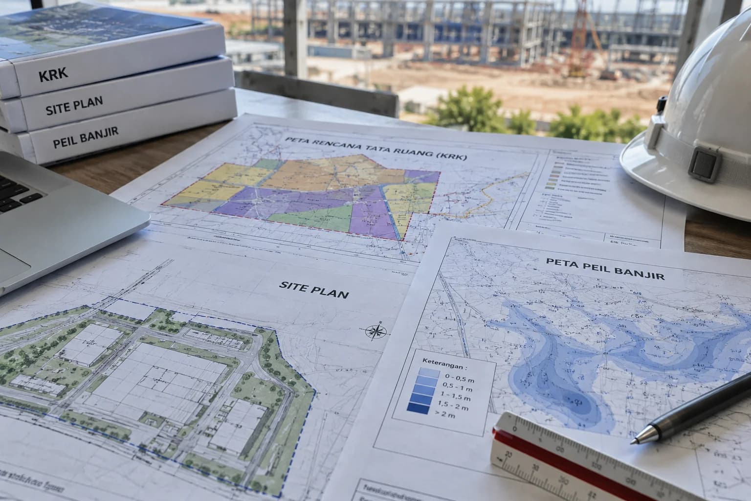
The starting point. It sets out what may be built on your land: designated use, building coverage ratio, floor area ratio, setback lines, and maximum height.
This is not an opening formality. It is your design boundary. An architect producing a site plan before it exists is working on assumptions.
2. Site plan
The site plan translates those provisions into a concrete layout: how many plots, where the roads run, where the green open space sits, where public and social facilities go, and how drainage works.
For estate projects such as housing or warehousing, the site plan requires approval from the regional government.
The point most often disputed is the proportion of land for public facilities and green open space. The interests genuinely conflict; developers want to maximise saleable plots, while local provisions set minimum proportions. Finding the meeting point at site plan stage is far cheaper than after plots are marketed.
3. Flood level certificate
Sets the minimum floor elevation based on inundation conditions in the area. For housing, this determines the volume of fill required, and fill volume is a large cost component.
Knowing that figure before setting the budget is considerably better than after.
4. Environmental document
AMDAL or UKL-UPL by scale. Large housing developments, particularly those with significant land area or unit counts, generally fall under mandatory AMDAL. Small clusters are usually UKL-UPL.
Worth noting: where a project is built in phases, the document should cover the entire plan from the outset. Preparing it phase by phase is risky, because the accumulation of later phases can cross the AMDAL threshold while you hold only a UKL-UPL.
5. Traffic impact analysis
Almost always required for housing with meaningful unit counts. Its outcome can impose obligations such as widening the access road, managing an intersection, or relocating the gate to a different side from the original plan.
6. Building approval
For the houses themselves. It can be applied for on repeated house types.
Three points that most often stall projects
Drainage and flood impact on surrounding areas
This is the most common source of community objection on housing projects, and the hardest to answer if not prepared for from the start.
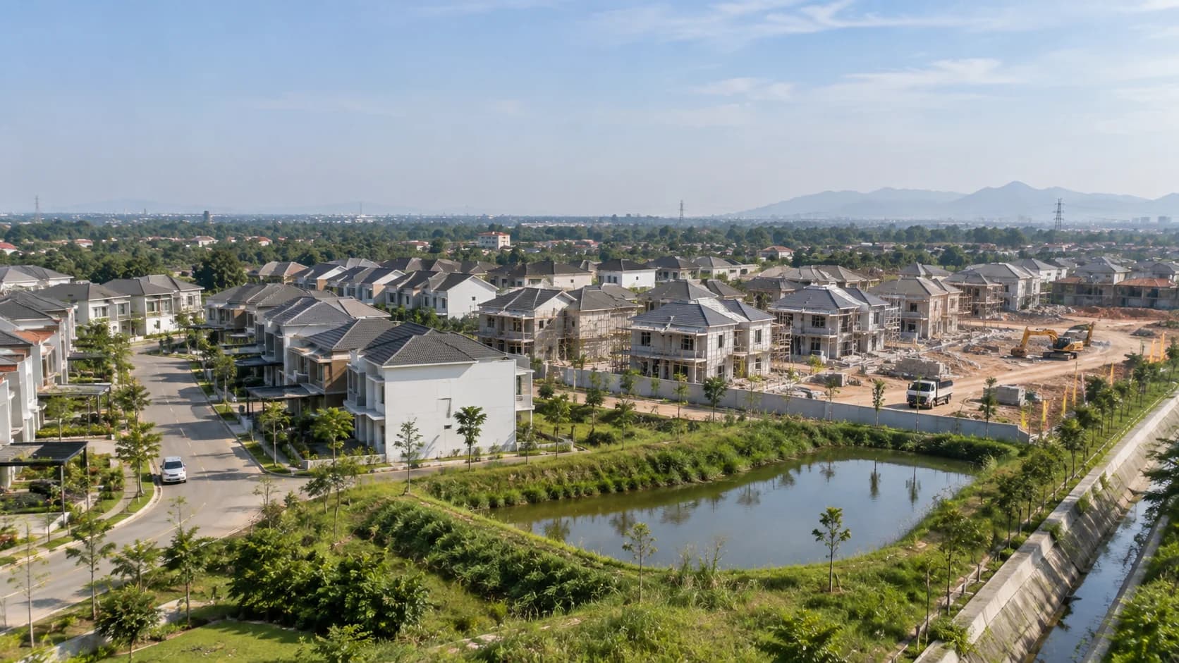
The concern is reasonable: land that used to absorb water is filled and covered with hard surfaces, runoff increases, and that water must go somewhere. If the receiving channel is already constrained, the surrounding area bears it.
Serious drainage planning, including retention ponds or infiltration wells, is not merely to satisfy a document. It is what allows your document to be defended before residents and assessors.
Clean water availability
For housing relying on groundwater, questions about the effect on residents' wells will almost certainly arise. Abstracting groundwater in volume carries its own licensing provisions, and this is often realised late.
Handover of infrastructure and public facilities
Roads, drainage, green open space, and public facilities are ultimately handed over to the regional government. This obligation attaches, and it becomes a serious problem when a developer has sold every plot without completing it.
For buyers, this is also worth checking before purchasing in a development still under way.
The sequence that saves most
Urban planning certificate and certainty over designated land use.
Flood level certificate, before calculating the fill budget.
A site plan that already accounts for both.
Environmental document and traffic analysis, run in parallel.
Site plan approval.
Building approval.
Construction and marketing.
The costliest error is marketing before the site plan is approved. If adjustments then follow from green open space provisions or the traffic analysis, plots already sold can be affected, and resolving that with buyers is far harder than resolving it with an agency.
For small clusters
Projects of a few dozen units face the same chain, only lighter. The environmental document is a UKL-UPL, a traffic analysis may not be required depending on local provisions, and the process is faster.
What does not change: the planning certificate and flood level still belong at the front, and drainage still needs a serious answer. Small scale does not make the additional runoff disappear.
Mapping your project
Three pieces of information are enough to build an accurate requirements list: land area, estimated unit count, and location.
Send all three on WhatsApp. We will help build the document chain and its sequence, including estimating whether your project falls under AMDAL or UKL-UPL. Knowing this before setting a budget is far better than in the middle of a project.